💻 For the best experience, view this site on desktop
Critical Information On Demand
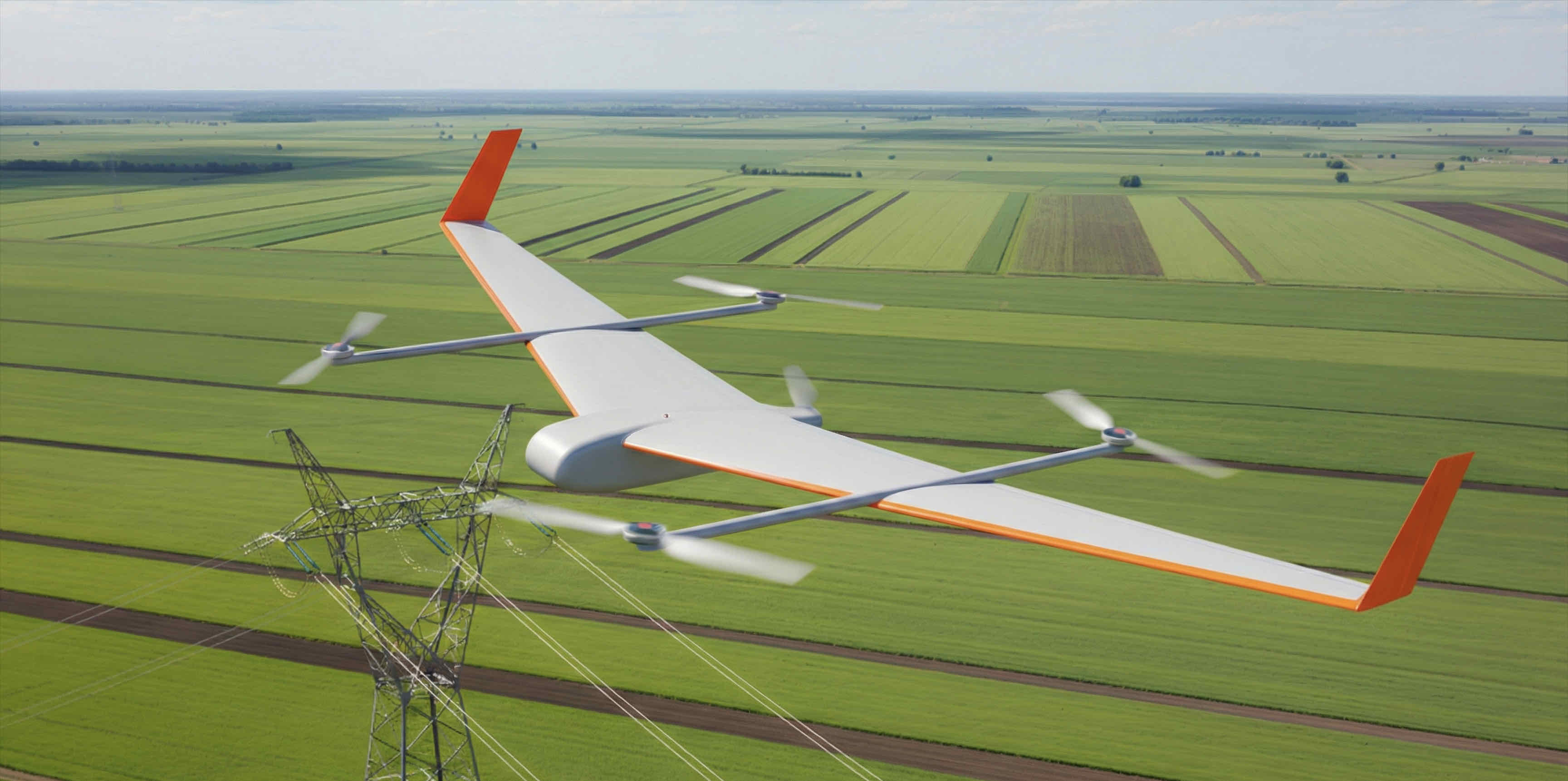
A drone data provider powered by hybrid fixed-wing drones
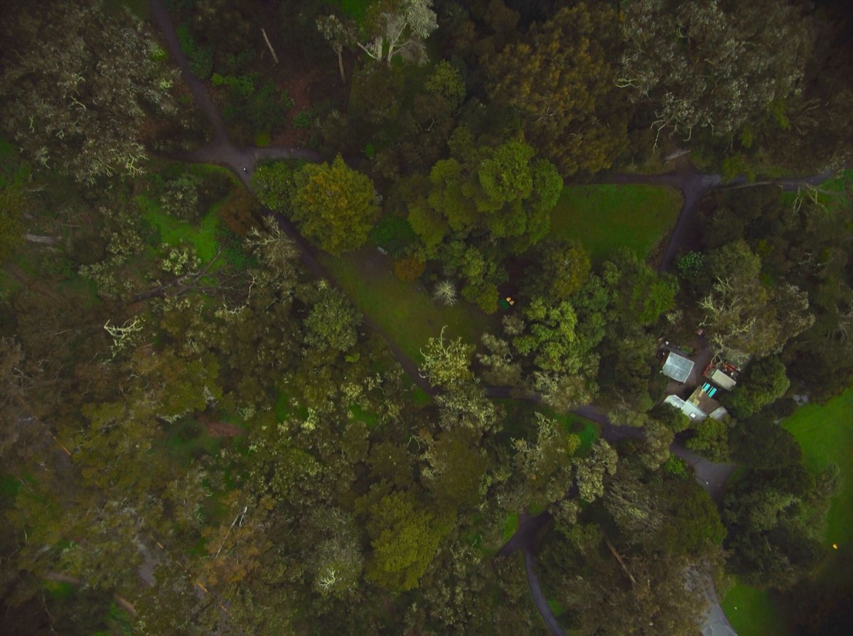
Plan Your MissionLarge land area survey
High-resolution RGB and thermal orthomosaic imagery capture comprehensive views of large land areas up to 5 cm GSD. LiDAR provides data for detailed topographic mapping.
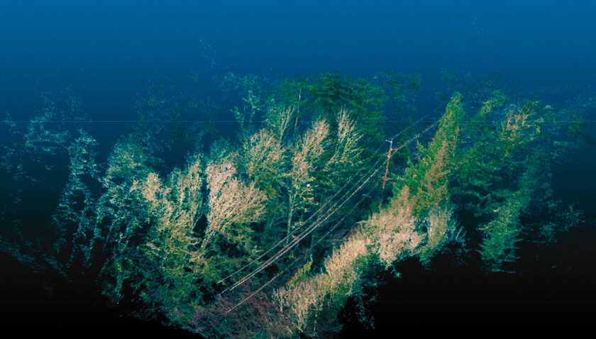
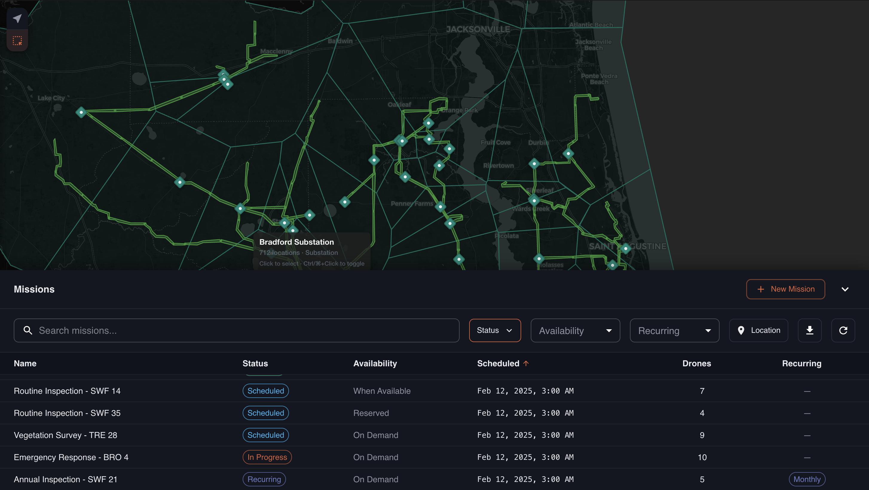
Linear corridors
Up to 250 ppm with 3 cm accuracy LiDAR provides detailed 3D models of power line, pipeline, rail, telecom, and other linear infrastructure corridors.
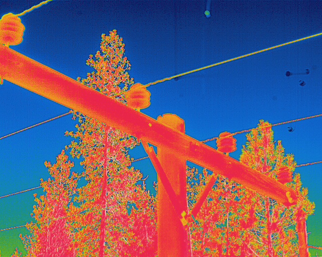
Asset inspection
Detailed visual analysis of critical infrastructure components with 61 MP RGB cameras and radiometric 640x480p thermal cameras provides high-resolution imagery for preventative maintenance and asset management.
How It Works
You select sites and mission type.
We dispatch our drones.
You receive geospatial data.
Engineered, built, and deployed in America
Voltair is a drone design and manufacturing firm building a network of fixed-wing VTOL drones and inductive charging pads for on-demand data collection across the U.S.
We handle
Mission planning
Airspace coordination
Drone operations